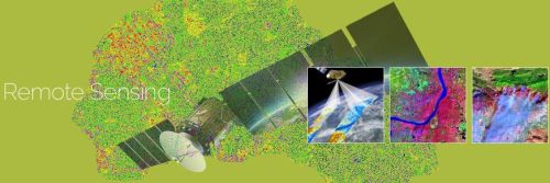
Aabsys offers remote sensing services to its clients worldwide. The services ensure accurate and cost-effective data collection which is important input for planning and designing of mapping projects. Aabsys’s expertise in remote sensing branches out to meet classification, image correction, image enhancement, image processing, and change detection services. These services are rendered as per the project’s requirements.
AABSyS IT is a leading GIS company that provides geospatial, IT and CAD services to various industries. The GIS company brings together deep domain expertise, strong financials, skilled resource base and more than 17 years of experience in GIS, IT and CAD services. As GIS company, AABSyS IT has a successful track record of rendering GIS, IT and CAD services to an impressive set of national and international non-GIS and GIS companies.
Nature of Business Service Provider
Number of Employees450 - 500
Year of Establishment1998
Tell us your Buy Requirement to Get Instant Response