

Company Information
Ask for more detail from the seller
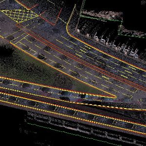
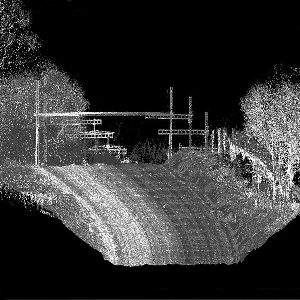
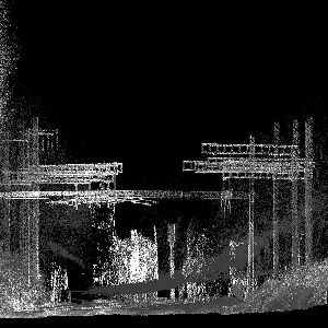
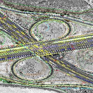
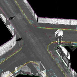
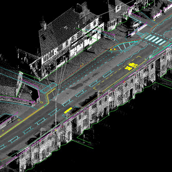
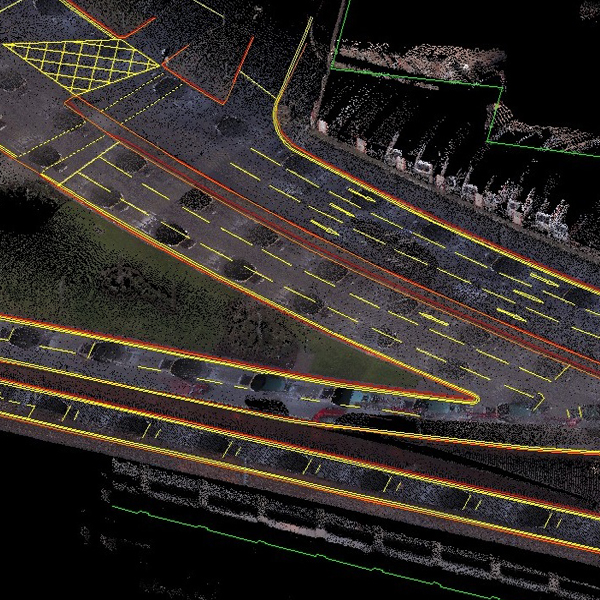
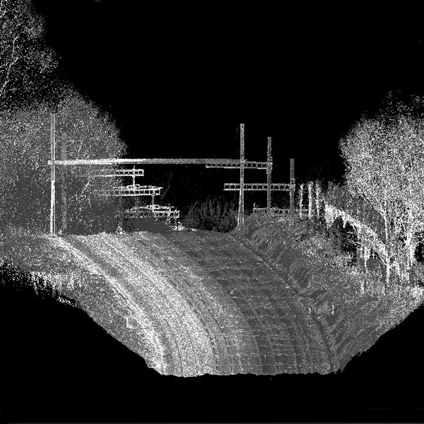
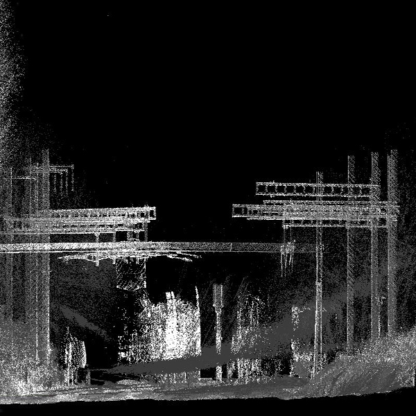
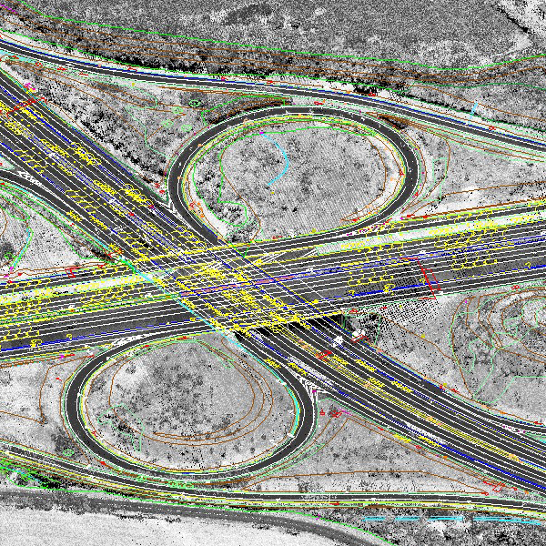
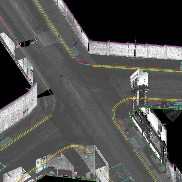
Contact SupplierMobile laser scanning is an emerging technology capable of capturing three-dimensional data from surrounding objects. With state-of-the-art sensors, the achieved point clouds capture object details with good accuracy and precision. Many of the applications involve civil engineering in urban areas, as well as traffic and other urban planning, all of which serve to make 3D city modeling probably the fastest growing market segment in this field In the last couple of years mobile mapping systems have come of age with drastically reduced costs and vastly improved accuracy and speed of data collection. Digital Surveys work with a number of mobile systems depending on project requirements such as accuracy and overall budget costs.
We have systems that range from accuracies of +/- 100mm to +/- 20mm. Mobile mapping systems are transforming how large scale road and city mapping projects are executed. Data can be captured at speeds of 50 mph allowing vast swathe of motorway to be accurately captured faster than ever before.
Naksha Tech MLS data processing team are highly skilled in mapping point cloud data.
Products:
Where to Apply Mobile laser scanning:


Connect with us