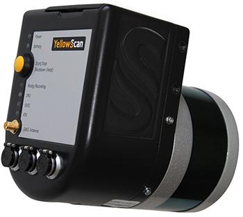
3D mapping, stock management, biomass calculation, electrical line review is the most sensitive solution for follow-up. A Lidar sensor package that combines 300,000 points of 3D coordinate data with geo-labeling data at the points where photogrammetry is inadequate or at higher resolutions