Related Category


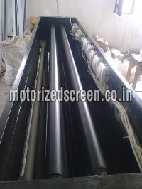
We are a well known Manufacturer and Supplier of Map Dispensing System . The system delivers flawless performance and high productivity. detail : The maps printed on polyurethane sheets are rolled on motorized pipes stacked in fixed positions in such a way that on giving command the selected map rolls down in more...

A noise map is normally generated using computer software that calculates noise levels from input data such as traffic flows and topography (e.g. ground levels) Computer modeling is used rather than noise measurement as measurement would be prohibitively expensive and it would be technically difficult to isol more...
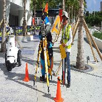
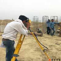
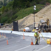
We are offering survey mapping service more...


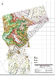
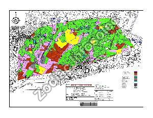
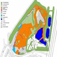
Zodiac Infosolec is well known for its Topographic mapping services in West Bengal, India. These mapping services are used to identify and also to map the contours along with existing features on the earth's surface. This is extremely beneficial for the industries like emery sector, defence sector and a lot m more...
Get Quotes from Verified Suppliers

Our Route Mapping and Surveys Service provides meticulous analysis and planning for optimized transportation routes. Using cutting-edge technology and expertise, we conduct thorough surveys to identify the most efficient paths for your logistics operations. From assessing road conditions to analyzing t more...

Aeromech’s Temperature Mapping service is designed to meet the highest industry standards.With a team of experienced professionals and state-of-the-art equipment, we ensure that your storage environments are validated accurately and efficiently. Our comprehensive approach covers everything from i more...

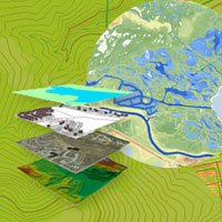
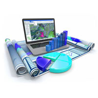
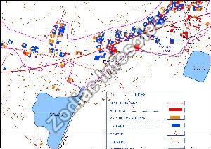
We at RIPL provide the latest GIS mapping services, GIS data managemen GIS in India by experienced & professional GIS engineer at very affordable cost. more...
Connect with us