Our Services
Leading Manufacturer, Supplier & Retailer of rail survey, irrigation survey services, pipe line survey, transmission line survey and Smart City Survey.

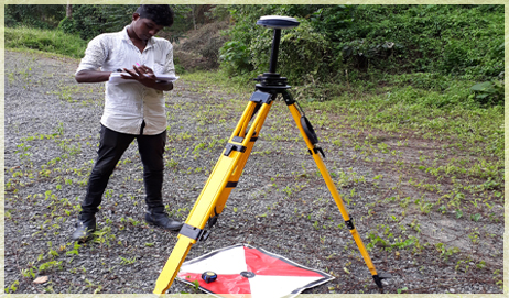
Railway surveying is focused on providing and managing the spatial information required for the design and maintenance of railroad infrastructure. Railway surveying requires the use of rigorous surveying techniques, technical standards, and design principles that allow tracks and associated infrastructure to be designed, built, and maintained so that trains can move safely at an optimum speed over the system.


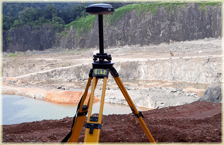
Transmission Line Survey is used to determine Transmission Line alignment and Ground Profile for preparation of Tower spotting schedule. Preparation of Sag profile drawing is essential to stinging the wire. San Survey Engineering provides a complete solution of those requirements.
THE ACTIVITIES INVOLVE:Determine at least three alternative alignments from Survey Of India Topo Sheet or from Google Image or from Satellite Image
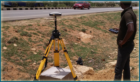
Detail topographical survey within a specified corridor on the best route using ETS or RTK.
Preparation of Topographical Plan & Ground Profile drawing with Sag Curve using PLS CADD.
Check survey for final demarcation of Tower spotting location.

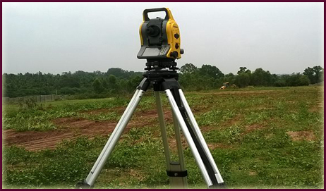
We provide City Survey services to clients, which caters widely to highway engineers. With respect to highway surveying with a high point density, we render our services by collecting the data for the same with the help of our highly skilled engineers and professionals. The information that is obtained by us is transferred to our software very easily for the purpose of designing and is presented as a CAD file or hard copy. In order to meet the varied requirements of our clients.


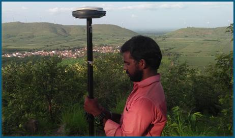
Precise leveling is a fast, very cost effective and highly accurate method for detecting even the smallest changes in elevation associated with any site activity. Precise leveling techniques have also been used in testing environments, particularly where the effect of stress on a structure needs to be determined. Strategically placed precise level points can correctly and precisely determine the extent of settlement on any structure.